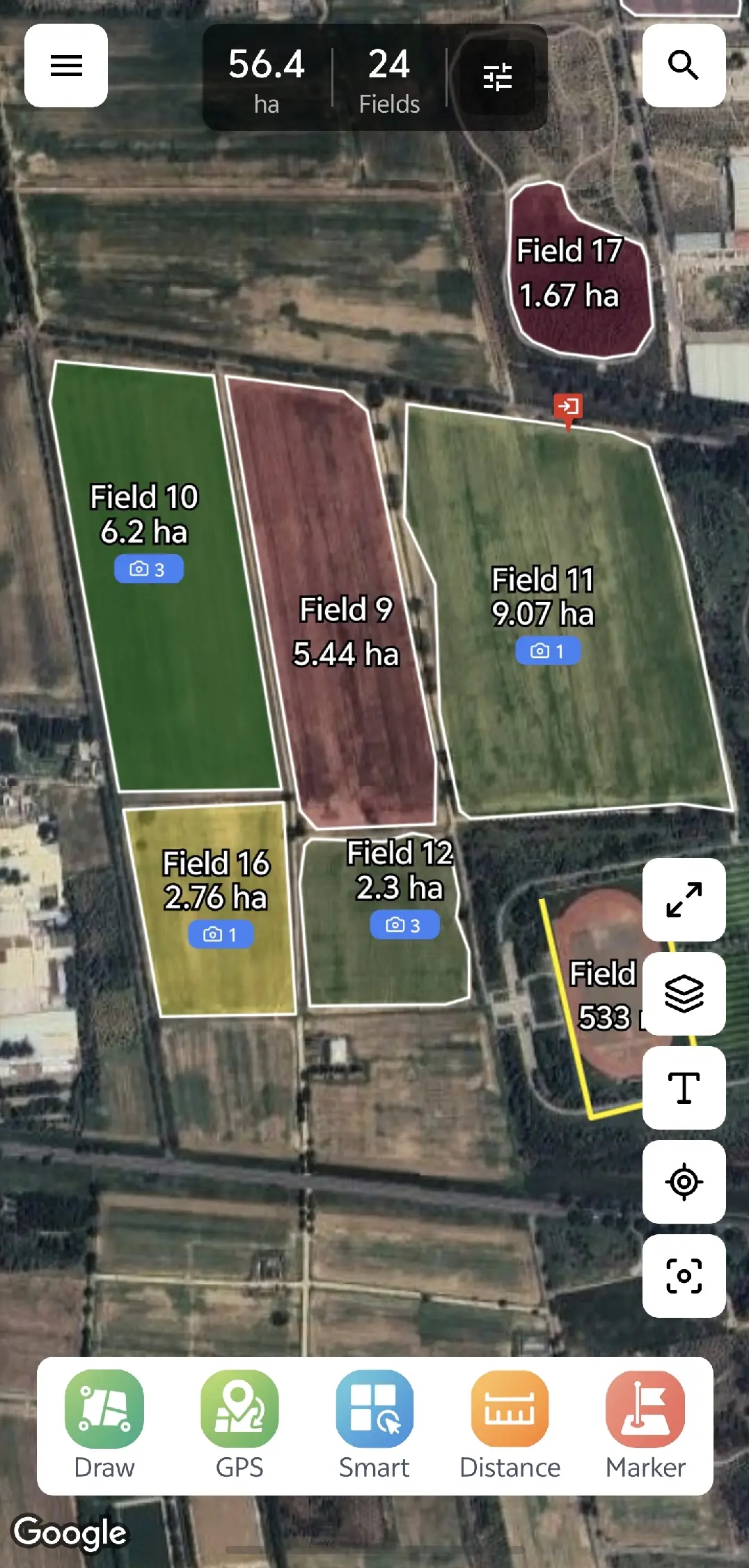
aFarm is a professional farmland measurement and management application. GPS walking, AI-powered boundary detection, and smart mapping - all in one app.
Powerful tools designed specifically for agricultural operations
Walk around your field boundaries with GPS tracking for accurate area calculation
Automatically detect field boundaries from satellite imagery using AI
Draw field boundaries manually on the map with precision tools
Save, edit, and organize all your field records with detailed information
Attach photos and notes to your field records for complete documentation
Work in remote areas without internet - sync when you're back online
We believe in complete transparency about the data we collect and why
Used for GPS field measurement and recording accurate boundary coordinates
Used to capture photos of your fields for documentation and crop identification
Used to save your field data locally and cache offline maps
Used for cloud sync and backup of your field data across devices
We are committed to protecting your personal information and being transparent about our practices